 My Trips
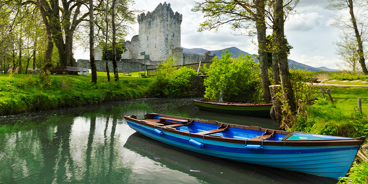
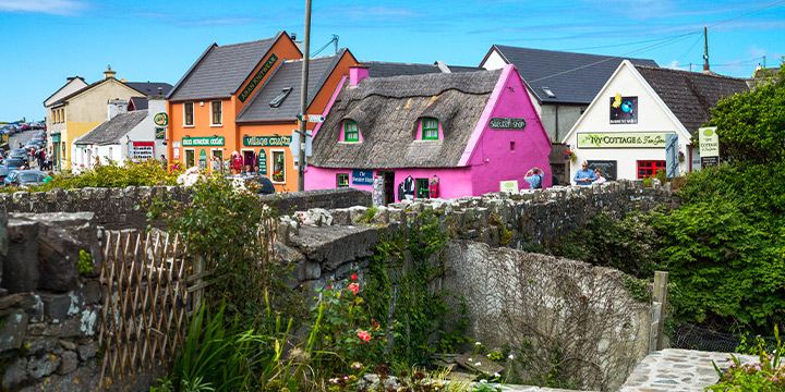
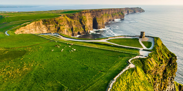

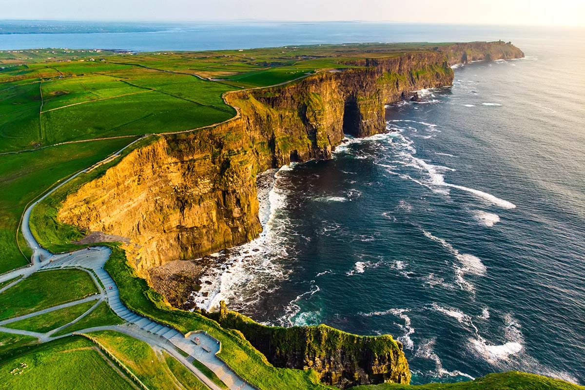
Begin in Shannon for the best of traditional, authentic Ireland. In western Ireland, you’ll hear people speak Irish nearly as often as they speak English. The road and town signs, too, are in both languages. In this part of Ireland there are no large cities to navigate, and the welcoming pace is relaxed. Take a cruise at the base of the Cliffs of Moher. The view is astonishing.
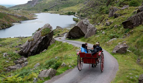
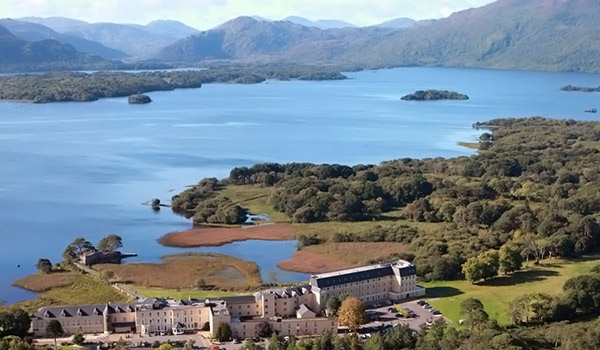
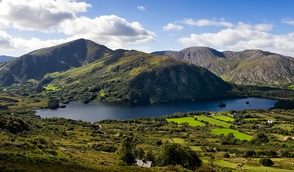
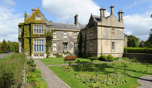
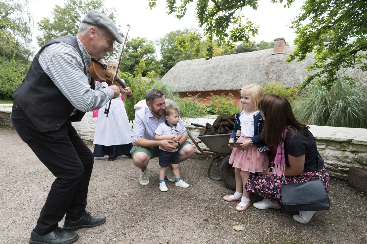
Stay in charming Lisdoonvarna, and dip into one of the local pubs for unrivaled, joyous music. Take the ferry to the Aran Islands or visit the Burren. Take a horse and carriage ride to Ross Castle, discover Killarney National Park, and the Ring of Kerry. End this enchanting experience with a medieval banquet in Ireland’s best-preserved castle. This tour is pure Ireland.
Included Unique Activities
- Cliffs of Moher Cruise
- Horse & Carriage 'Jaunting Car Ride' to Ross Castle
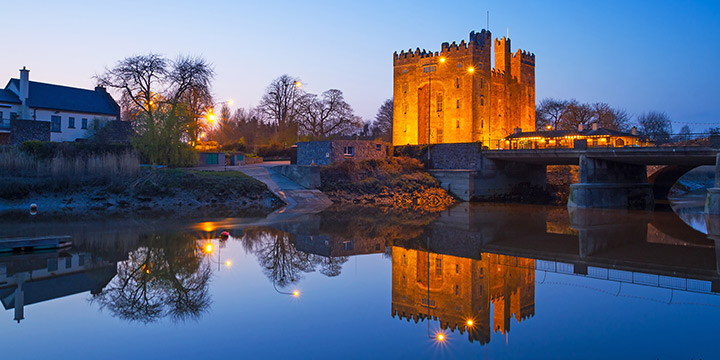
- Medieval Banquet Dinner Show at Bunratty Castle
Cliffs of Moher Exhibition Centre
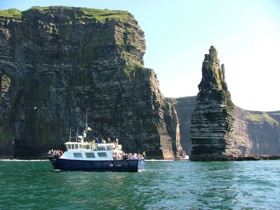
Cliffs of Moher Cruise
Bunratty Castle & Folk Park Admission
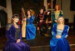
Medieval Banquet Dinner at Bunratty Castle
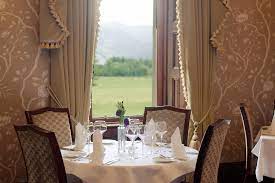
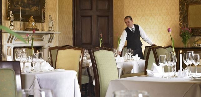
3 Course Dinner at the Herbert Restaurant

Horse & Carriage Roundtrip Ride to Ross Castle
Accommodations

2 Nights
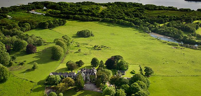
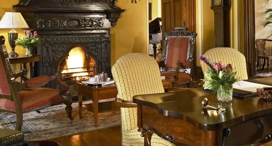
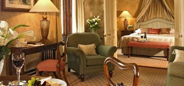
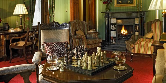
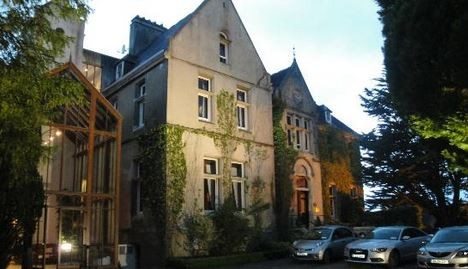
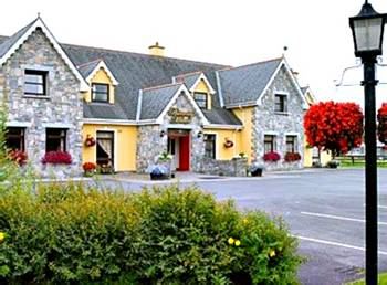
18th Century Country House in the Burren
2 Nights
Boutique Country Manor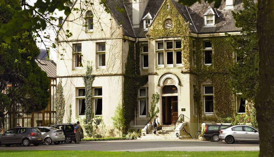


1 Night
Sumptuous Country InnTransportation and Guides
- Automatic Rental Car
Meals Included
- 5 Full Irish Breakfasts
- Medieval Banquet Dinner at Bunratty Castle
- Dinner at The Herbert Restaurant
Points of Interest
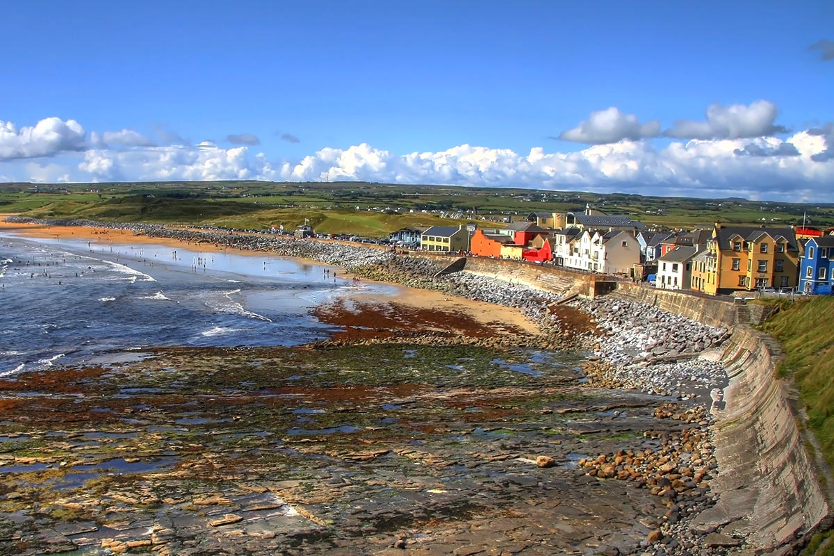
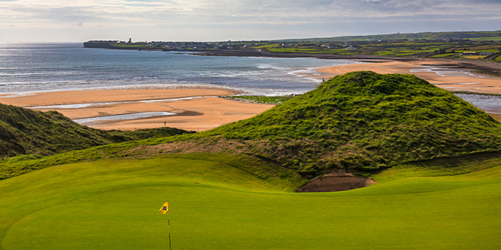
Lahinch, County Clare
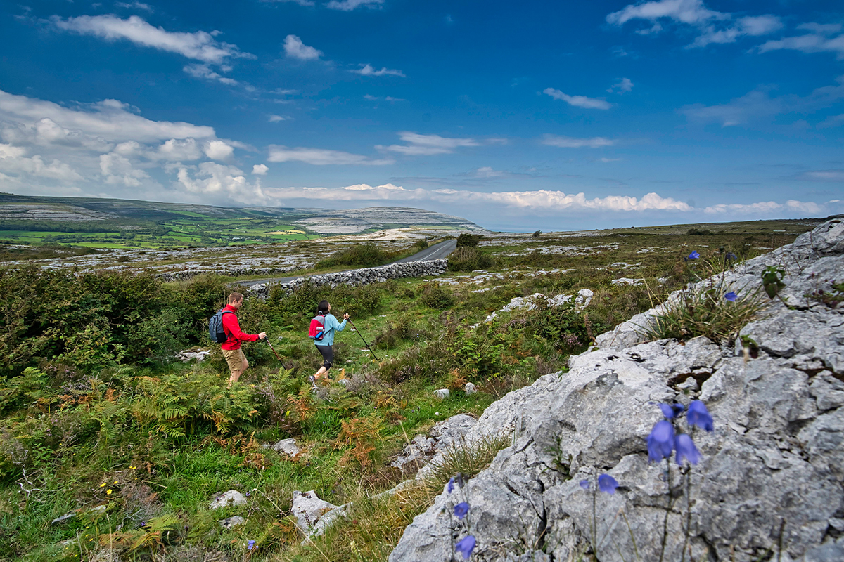
The Burren, County Clare
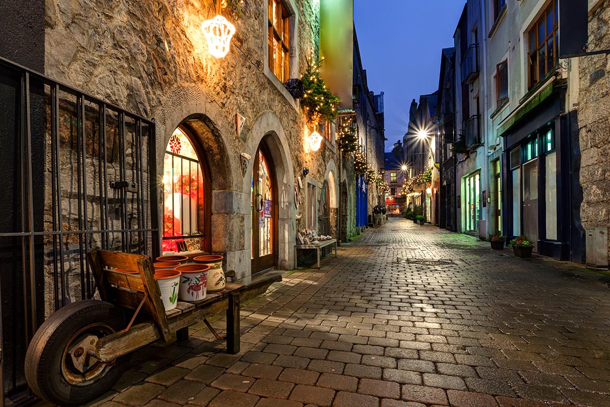
Galway, County Galway
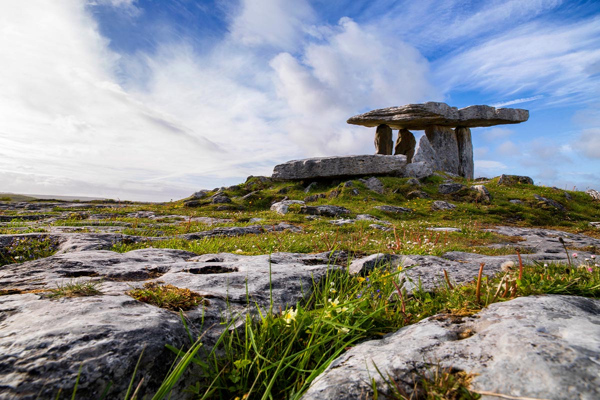
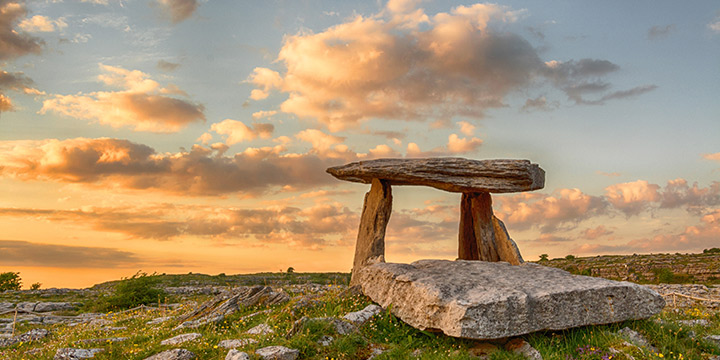
Poulnabrone Dolmen and Stone Fort, County Clare
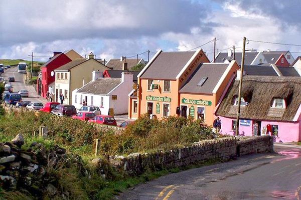
Doolin, County Clare
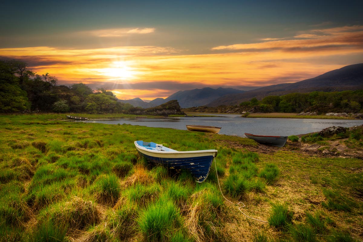
Killarney, County Kerry
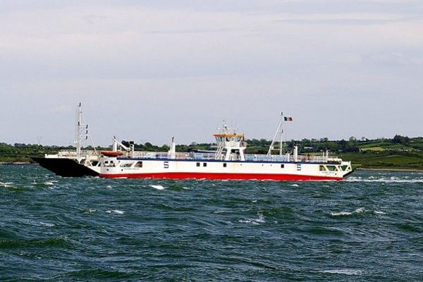
Killimer-Tarbert Car Ferry, County Clare
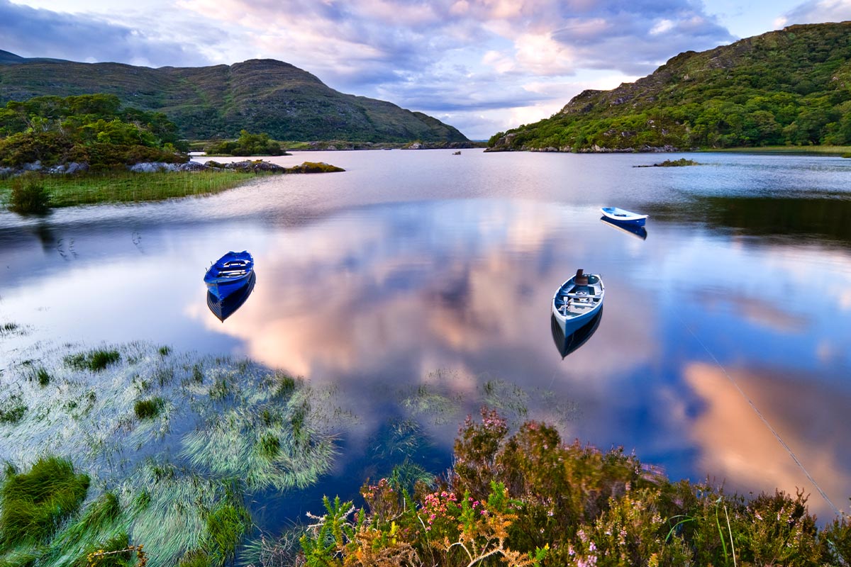
Killarney National Park, County Kerry
Entrances & Admissions
- The Cliffs of Moher
- Bunratty Castle & Folk Park
Loading itinerary...
2026 LOW SEASON
Available Dates
Nov, Dec
From $2,423 per person
2026 MID SEASON
Available Dates
Oct
From $2,544 per person
2026 HIGH SEASON
Available Dates
Jun, Jul, Aug, Sep
From $2,787 per person
2027 LOW SEASON
Available Dates
Jan, Feb, Mar
From $2,597 per person
2027 MID SEASON
Available Dates
Apr, May, Oct, Nov, Dec
From $2,665 per person
2027 HIGH SEASON
Available Dates
Jun, Jul, Aug, Sep
From $3,066 per person
Your Price Includes
ACCOMMODATION
- 5-nights Authentic Irish Accommodations
TRANSPORTATION
- Automatic Rental Car
DINING OPTIONS INCLUDED
- 5 Full Irish Breakfasts
- Medieval Banquet Dinner at Bunratty Castle
- Dinner at The Herbert Restaurant
UNIQUE EXPERIENCES
- Cliffs of Moher Cruise
- Horse & Carriage 'Jaunting Car Ride' to Ross Castle
- Medieval Banquet Dinner Show at Bunratty Castle
ENTRANCES & ADMISSIONS
- The Cliffs of Moher
- Bunratty Castle & Folk Park
"Italy anniversary trip"
Jun 18, 2026GA
Ellie did a fabulous job helping me put together the perfect trip for my clients. She paid such great attention to the details I sent her, and my clients said the trip was AMAZING! Thank you Ellie!!!
"mom and daughter trip"
Jun 11, 2026Ireland
What an amazing trip! I chose Authentic because the itinerary sounded exactly what we wanted to see. But what made this the trip of a lifetime was our driver/guide, Colm Dunlea. He was absolutely incredible. The stories he told, the little side trips he took us on, the tips he gave us as we arrived in each of the towns/cities, the pictures he took and all of the extras he gave us were just so very much appreciated. I am forever grateful to Colm Dunlea for all he did. He was BRILLIANT!!!
"85th birthday gift celebration"
Jun 2, 2026Montague Michigan
Our trip to Ireland was beyond amazing. Each day brought new vistas filling us all with the heart of this beautiful land, The accomadations were just magical and each one had a lovely history of its own. The tour itinerary was well designed to teach us about Irelands different areas and history. Special praise to our ProCar chauffer / guide, Mr. Declan Cummins for going way above to care for each traveler . ( We were a varied group.) He is a huge asset to your company, We all grew very fond of him by weeks end. Thank you all for creating this wonderful adventure. I'd do it over again in a heartbeat!
"Denmark Vacation"
May 31, 2026Minneapolis, MN
My clients' 'Denmark in the Spring' trip exceeded expectations — from the seamless logistics to the curated experiences in both Copenhagen and Aarhus, every detail was thoughtfully arranged. Their drivers and guides were exceptional, bringing the destinations to life in ways they couldn't have discovered on their own. They returned home already dreaming of their next trip.
"Mom and daughter trip"
May 28, 2026Wisconsin
My client and her mother contacted me about travel to Ireland. They wanted something private and special. I met my Authentic Vacations' sales rep the night before and decided to send in a request. Best decision ever! Lauren L. received my request and immediately sent me an email with a few ideas, we talked on the phone and within 2 days I had a winning itinerary.
Fast forward. My client emailed me on arrival day and was very pleased with the service. She emailed me again on the last day and raved about their driver Colm Dunlea.
Working with Authentic Vacations was effortless. I highly recommend them and plan to use their service again.
"Family Vacation"
May 21, 2026New York
As a travel advisor, this was the first Ireland trip I entrusted to Authentic Vacations, and they knocked it out of the park. The clients loved having a private driver, thought the hotels were ideal, and a castle stay was the perfect ending to the trip.
"Birthday Family Trip"
May 20, 2026Illinois
My group of 10 returned from a week in Ireland where I hired a driver through Authentic Vacations. Delcan went above and beyond as I had 2 80+ women in the group that could not walk long distances. He found wheelchairs at every venue. My clients said he was very kind and friendly. Thank you to Jennifer at Authentic Vacations who made this experience a memory of a lifetime.
"Family Adventure"
May 19, 2026Fort Thomas, KY
Amber M. does the best job bringing my ideas to life for my clients. She truly builds the best curated trips and makes me look like a rockstar. From start to finish - she is there every step of the way. Having her and Authentic's support is awesome! Thank you for another excellent adventure!
1. Click the “GET QUOTE” Button Above.
Complete our inquiry form by selecting your departure date, and all other relevant fields. Be sure to let us know if you're traveling for a special occasion! We can adjust most of our vacation packages to suit your needs, based on the details you provide.
2. Online Account & Quote Created
Your request will be forwarded to our team of Destination Experts, and a price quote will be prepared, based on your submitted preferences and criteria. A free Authentic Vacations online account will also be created, allowing you to view and request changes to your quote at any time. Log into your account via “LOGIN” at the top of any of our webpages.
3. Fine-Tune Your Tour Quote
Work with your assigned Destination Expert to tweak your quote in any way you wish. Our customers continually tell us that our flexibility in this regard is exceptional – your Destination Expert’s sole brief is to create the perfect tour for you!
4. Reserve & Pay Online
Once your quote is 100% to your liking, you can pay for your package with your credit card via your Authentic Vacations online account. We also accept payment by personal check and wire transfer. We only require a 20% deposit to secure your vacation, and our Risk-Free Cancellation Policy provides you with complete peace of mind.
5. Print Your Travel Documents & Go!
Once your vacation has been paid in full, you will be able to print your travel documents directly from your online account. You’re ready to embark on your ideal, authentic vacation!!
Questions?
If you would prefer to discuss your perfect vacation on the phone, we would be delighted to hear from you! Our Destination Experts are standing-by and looking forward to speaking with you at any time during our business hours listed below. We also operate a very responsive and efficient Live Chat service on our website…instant gratification awaits!
Toll-free from the US and Canada: 1-888-443-5259 Rest of World: +1-707-687-0191
Hours of Business:
Monday – Thursday: 7:00am – 5:00pm PST
Friday: 7:00am – 4:00pm PST
Saturday: 6:00am – 3:00pm PST
Sunday: 6:00am – 3:00pm PST
With offices in Scottsdale, San Francisco, London, Dublin, Copenhagen and Edinburgh, we can offer you unrivaled support while you are abroad. We truly believe all our clients deserve an extraordinary, authentic experience!