 My Trips


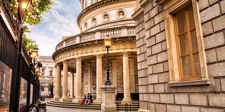
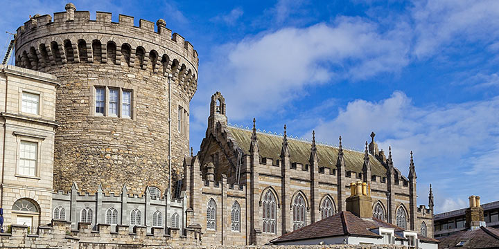
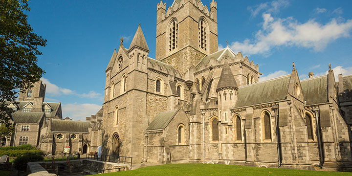
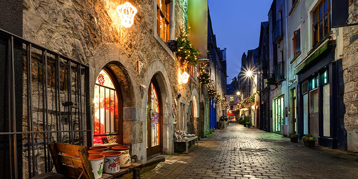
This Ireland vacation is a sublime mix of top spots and hidden gems. You’ll be picked up at the Dublin airport in style and taken to your elegant hotel. Discover all that is Dublin with a visit to the Guinness Storehouse and an afternoon tea experience. Your next stop is medieval Kilkenny, founded in 1207. Fall under its timeless spell.
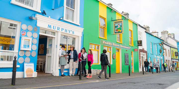
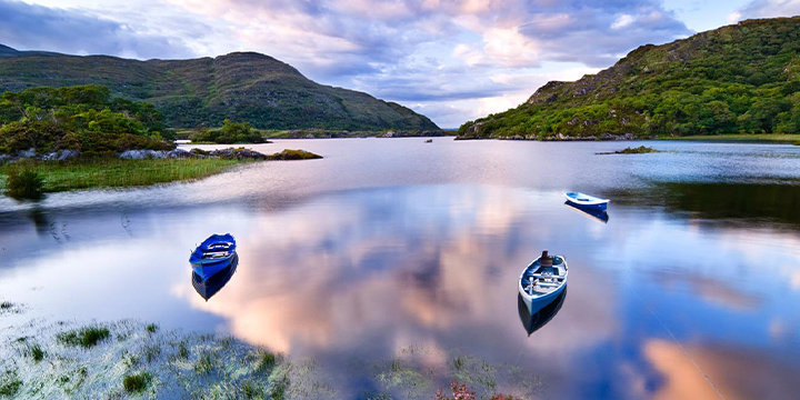
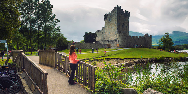
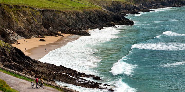
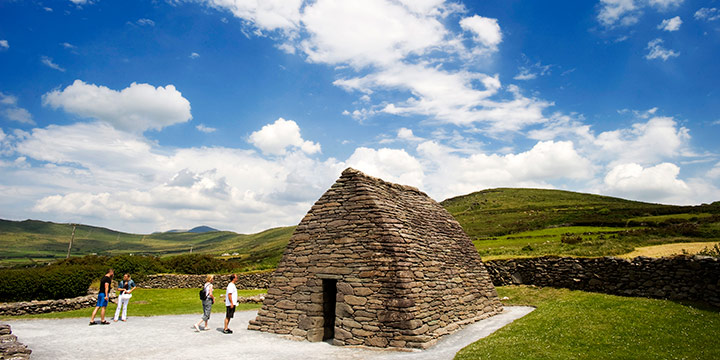
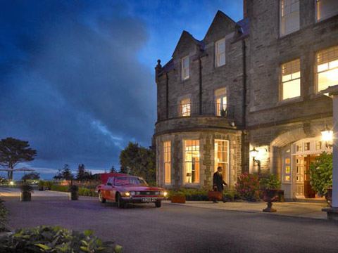
County Kerry is lush and pristine. Your resort is situated on 500 acres of islands and islets. The Wild Atlantic Way is legendary, and a boat tour will give you a unique coastal perspective. From here, explore Killarney Park, the Ring of Kerry, and savor a gourmet meal in Kenmare. Find ancient sites along the Dingle Peninsula, and dip into the pub culture of foot-tapping music. Doolin is traditional Ireland at its best. Take a ferry to the Aran Islands or visit the stunning Cliffs of Moher.
In Connemara, you’ll stay in a castle. Indulge in luxury and the sweeping landscape, savor exceptional cuisine, and sleep well. Explore Kylemore Abbey, the Victorian Walled Garden, and shop for local green marble crafts. Your last night is spent in a grand manor house near the rivers that mark the border between two ancient Irish kingdoms. Feel renewed. An Ireland escape has the power to heal and to bring joy.
Included Unique Activities
- Guinness Storehouse Tour
- Dublin Vintage Tea Tour
- Kerry Coast Boat Tour
- Abbeyglen Castle Dinner
- Kylemore Abbey Admission

Meet & Greet Private Airport Transfer - Dublin

Vintage Tea Experience
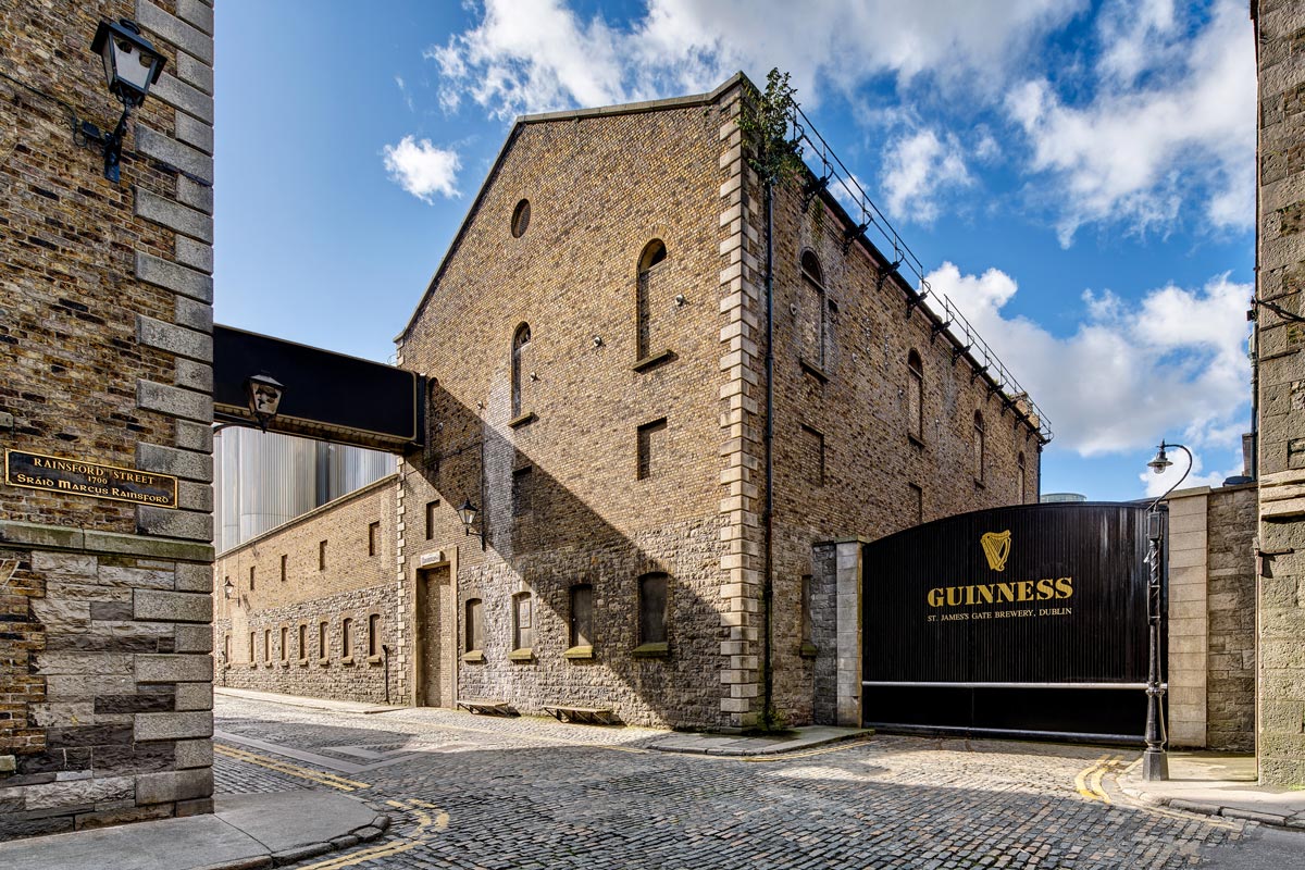
Guinness Storehouse Tour

Abbeyglen Castle Dinner
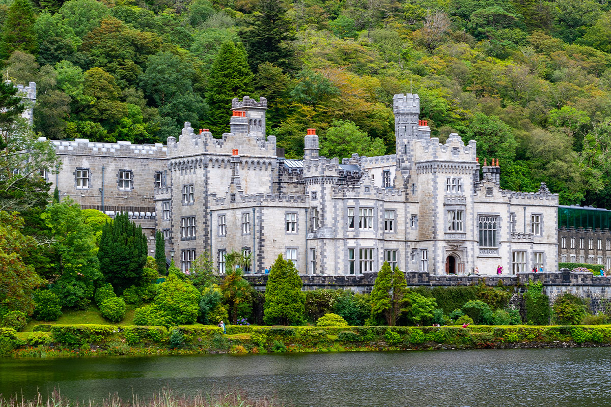
Kylemore Abbey & Victorian Walled Garden
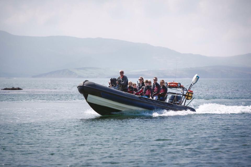
Kerry Coast Exploration By Boat
Accommodations
2 Nights
Elegant & Stylish 4-Star Hotel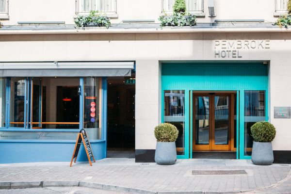
1 Night
4-Star Elegant City Center Hotel


3 Nights
4-Star Waterside View Hotel
1 Night
18th Century Country House in the Burren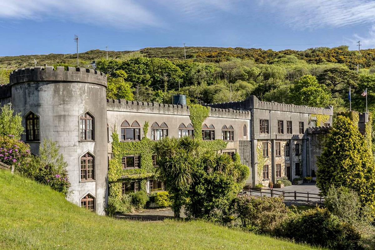
2 Nights
Countryside Castle Hotel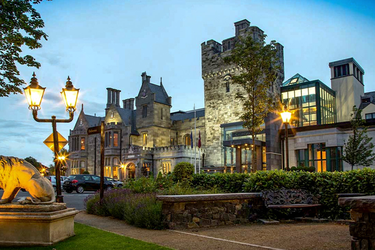
1 Night
Elegant Castle Hotel


Transportation and Guides
- Private Chauffeur Transfer from Dublin Airport to your Downtown Hotel
- Automatic Rental Car
Meals Included
- 10 Full Irish Breakfasts
Points of Interest
- Shop On Famous Grafton Street
- Check-Out the Guinness Storehouse
- Overnight at an Authentic Irish Castle
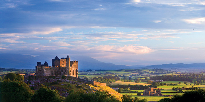
- Take in The Rock of Cashel & Glen of Aherlow
- Enjoy Stunning Views at Killarney National Park
- Jaw-Dropping Southwest Scenery
- Dingle & Slea-Head Rugged Beauty
- Marvel at Connemara National Park & Kylemore Abbey
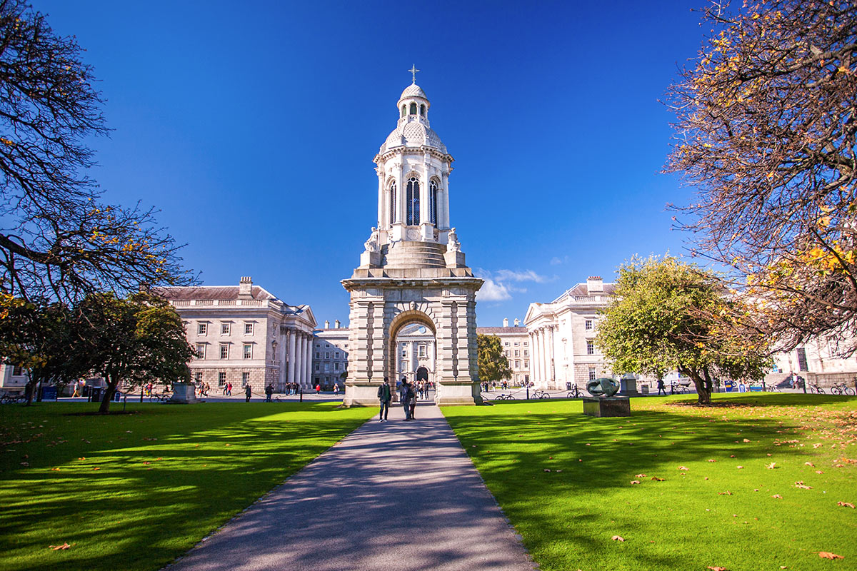
Trinity College, County Dublin
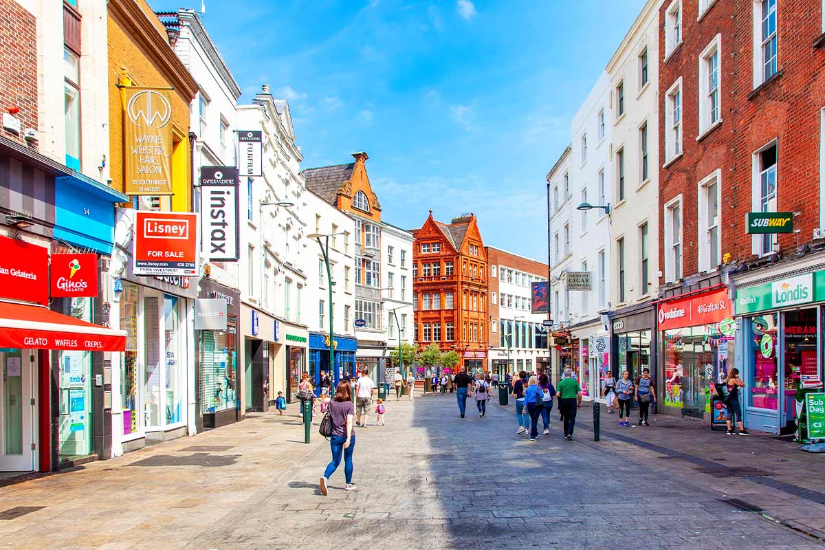
Grafton Street, County Dublin
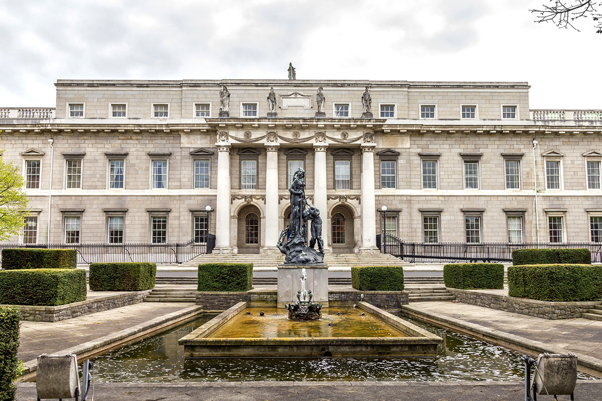
National Gallery of Ireland, County Dublin
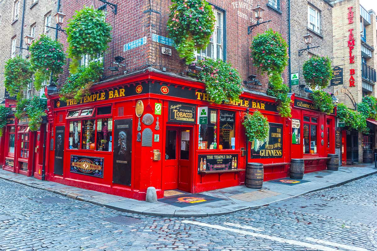
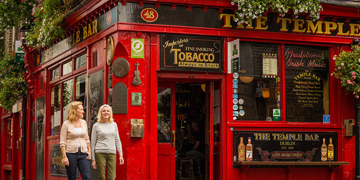
Temple Bar, County Dublin
O'Connell Street, County Dublin
Dublin Museums, County Dublin

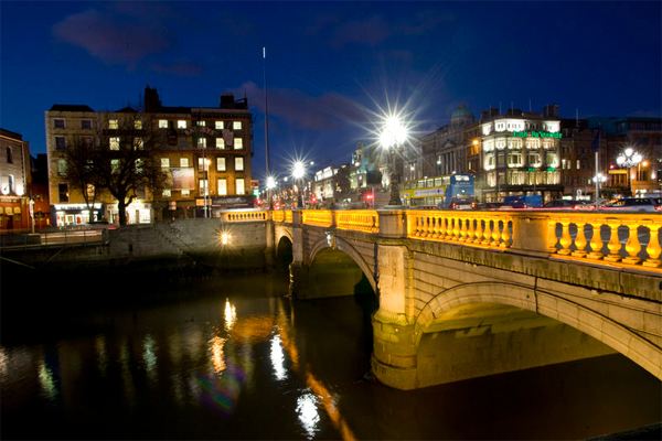
Dublin, County Dublin
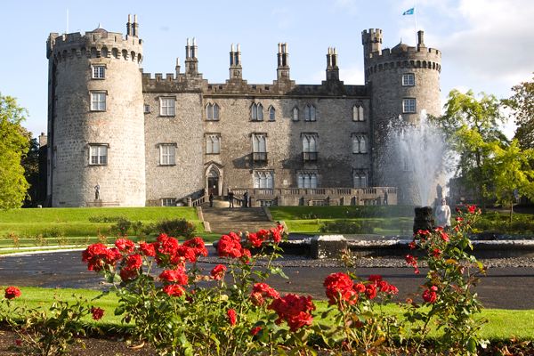
Kilkenny Castle, County Kilkenny
Loading itinerary...
2026 LOW SEASON
Available Dates
Nov, Dec
From $4,388 per person
2026 MID SEASON
Available Dates
Oct
From $4,715 per person
2026 HIGH SEASON
Available Dates
Jun, Jul, Aug, Sep
From $5,135 per person
2027 LOW SEASON
Available Dates
Jan, Feb, Mar
From $4,813 per person
2027 MID SEASON
Available Dates
Apr, May, Nov, Dec
From $4,827 per person
2027 HIGH SEASON
Available Dates
Jun, Jul, Aug, Sep, Oct
From $5,187 per person
Your Price Includes
ACCOMMODATION
- 10 nights Accommodation – From City Hotel to Authentic Castle!
TRANSPORTATION
- Private Chauffeur Transfer from Dublin Airport to your Downtown Hotel
- Automatic Rental Car
DINING OPTIONS INCLUDED
- 10 Full Irish Breakfasts
UNIQUE EXPERIENCES
- Guinness Storehouse Tour
- Dublin Vintage Tea Tour
- Kerry Coast Boat Tour
- Abbeyglen Castle Dinner
- Kylemore Abbey Admission
POINTS OF INTEREST
- Shop On Famous Grafton Street
- Check-Out the Guinness Storehouse
- Overnight at an Authentic Irish Castle
- Take in The Rock of Cashel & Glen of Aherlow
- Enjoy Stunning Views at Killarney National Park
- Jaw-Dropping Southwest Scenery
- Dingle & Slea-Head Rugged Beauty
- Marvel at Connemara National Park & Kylemore Abbey
Prices Based On
- All Taxes & Fees Included
- Prices are Per Person based on 2 people traveling together and sharing a room.
- Traveling Alone? No Problem. Just Ask Us for a Single Supplement Price.
"Family vacation"
Apr 29, 2026TN
I don’t think I could sing their praises enough. I wanted to explore Scotland but had no idea how to begin planning. I didn’t have to do anything. It was all taken care of. I just had to show up, I had no stress the whole trip.
This was the first of many trips to come. I’ll definitely be a return customer.
"Family Vacation"
Apr 29, 2026Texas
Amber M knocked it out of the park AGAIN! As always, she provided great insight and excellent service throughout the process. Clients had a wonderful time and loved the quality of the tours and professionalism and knowledge of the drivers and guides!
"Multiple itineraries all over the world!"
Apr 20, 2026Nashville, TN
As a travel advisor, I get requests for trips all over the world. So far Authentic Vacations has helped me plan trips for clients throughout Europe, Iceland, and Australia. And my clients always come back happy and eager to plan another! I have worked with everyone, but most extensively with Ellie and Michelle, and I can’t say enough good things about them. They are thorough, kind, knowledgeable, and always willing to help get the job done! Highly recommend the entire crew at Authentic, and will keep coming back!
"So glad we booked our UK vacation with Authentic"
Jan 1, 2026Illinois
This review is long overdue. We booked a 2 week vacation in the UK through Authentic Vacations and are so glad that we did!! Amber was our advisor, and she took my wish list and crafted a great trip that provided exactly what we were looking for. It was so nice to have it all pre-arranged for us so that we could just go and not have to worry about anything. The hotels were great choices and the tour companies that Amber booked were really good ones. Communication was clear and easy, and the company kept all of its commitments. Thank you, Authentic Vacations! Nice job!
"A Complicated Itinerary Made Easy"
Nov 24, 2025Scottdale
Lauren did an excellent job with my clients! She was so helpful in a very unique and complicated trip for a solo traveler. We combined it with some Air BnB that my client did and lauren was so great! Thank you again for being amazing to work with!
"Pleasure, Memory Tour in Ireland"
Nov 15, 2025VA
YES! Joleen put together a wonderful itinerary for my return trip to Ashford and Dromoland Castles in Ireland. The drivers and transfers were very pleasant and always on time with very comfortable luxury transports. The castle hotels were exactly what I expected but I think Joleen must have said things in the booking process because it seemed as though they may have stepped their normal attention to details up a bit. The upgrade at Dromoland was unexpected but much appreciated! Truly felt like a prince at both locations and all things went as planned without any problems. Thank you, your staff and especially Joleen for all that was done to make this a trip to remember!
"My clients were SO happy with their Italy trip"
Nov 10, 2025Missouri
I worked with Ellie at Authentic Vacations to plan a client's trip to Italy. Not only were the clients SO happy with the itinerary that Ellie crafted, but as the travel advisor, working with Authentic made the whole process seamless and stress-free!
My clients toured around Florence, Rome, and Tuscany. They were sending me pictures throughout their trip, letting me know that I "nailed" the itinerary. Authentic Vacations and its staff really understand the destinations and what travelers are truly looking for.
On the travel advisor side, it was an absolute joy from start to finish working with Ellie. She was always quick to respond and available to help in any way. I truly can't wait to work together in the future!
"Fantastic Vacation in Scotland"
Nov 3, 2025Louisville
My clients just returned from Scotland and Ireland and had a fantastic vacation. I appreciate the fast responses and knowledge in creating custom itineraries and have confidence that everything will be perfect for my clients. I love working with Authentic Vacations!
1. Click the “GET QUOTE” Button Above.
Complete our inquiry form by selecting your departure date, and all other relevant fields. Be sure to let us know if you're traveling for a special occasion! We can adjust most of our vacation packages to suit your needs, based on the details you provide.
2. Online Account & Quote Created
Your request will be forwarded to our team of Destination Experts, and a price quote will be prepared, based on your submitted preferences and criteria. A free Authentic Vacations online account will also be created, allowing you to view and request changes to your quote at any time. Log into your account via “LOGIN” at the top of any of our webpages.
3. Fine-Tune Your Tour Quote
Work with your assigned Destination Expert to tweak your quote in any way you wish. Our customers continually tell us that our flexibility in this regard is exceptional – your Destination Expert’s sole brief is to create the perfect tour for you!
4. Reserve & Pay Online
Once your quote is 100% to your liking, you can pay for your package with your credit card via your Authentic Vacations online account. We also accept payment by personal check and wire transfer. We only require a 20% deposit to secure your vacation, and our Risk-Free Cancellation Policy provides you with complete peace of mind.
5. Print Your Travel Documents & Go!
Once your vacation has been paid in full, you will be able to print your travel documents directly from your online account. You’re ready to embark on your ideal, authentic vacation!!
Questions?
If you would prefer to discuss your perfect vacation on the phone, we would be delighted to hear from you! Our Destination Experts are standing-by and looking forward to speaking with you at any time during our business hours listed below. We also operate a very responsive and efficient Live Chat service on our website…instant gratification awaits!
Toll-free from the US and Canada: 1-888-443-5259 Rest of World: +1-707-687-0191
Hours of Business:
Monday – Thursday: 7:00am – 5:00pm PST
Friday: 7:00am – 4:00pm PST
Saturday: 6:00am – 3:00pm PST
Sunday: 6:00am – 3:00pm PST
With offices in Scottsdale, San Francisco, London, Dublin, Copenhagen and Edinburgh, we can offer you unrivaled support while you are abroad. We truly believe all our clients deserve an extraordinary, authentic experience!