 My Trips
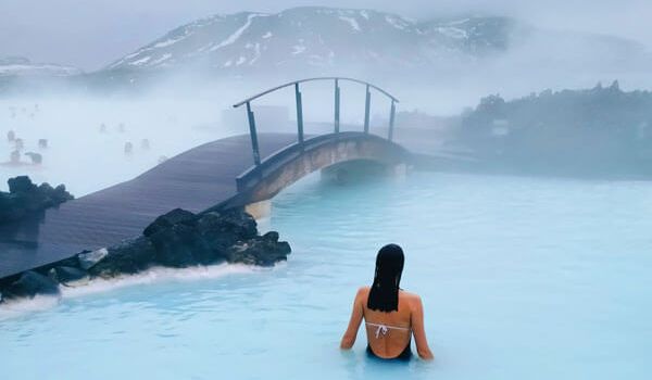


Prepare yourself to see Iceland the way it was meant to be seen, via the famous Ring Road. Over the course of 10 nights, you will make your way around the Island, stopping at well-known landmarks and dining on authentic Icelandic dishes.
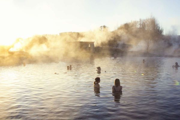
Start your adventure with a 3-night stay in Reykjavik, Iceland’s capital, where you will have the opportunity to visit the city’s top sights on a guided walking tour. During your stay in Reykjavik, you will also have time to visit the nearby world-famous Blue Lagoon, a relaxing and enchanting experience.
Your final day in the capital features a day tour of The Golden Circle - complete with visits to Þingvellir, the powerful Gullfoss Waterfall, and numerous local eateries. After exploring the Reykjavik area, you will head north and begin your loop along the Ring Road. The tour includes stays in Hellnar, Blönduós, Mývatn, Faskrúðsfjörður, and Hof and features a cave exploration tour of Lofthellir and a once-in-a-lifetime glacier hike.
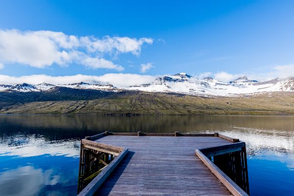
Explore powerful waterfalls, mouth-watering Icelandic cuisine, giant glaciers, stunning black beaches, and other-worldly landscapes as you make your way around this enchanting island.
Included Unique Activities
Golden Circle and Secret Lagoon Hot Springs Tour
.jpg)
Glacier Experience Starting At The Glacier
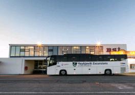
Comfort Blue Lagoon Coach & Experience
.jpg)
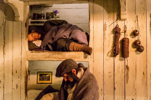
Cave Exploration Lofthellir
Walk with a Viking
Flybus Airport Transfer
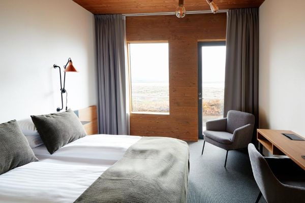
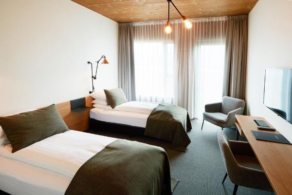
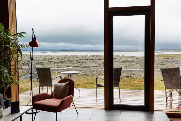
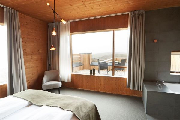
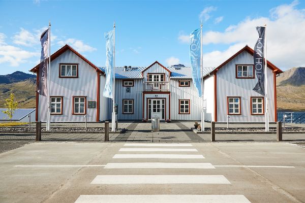
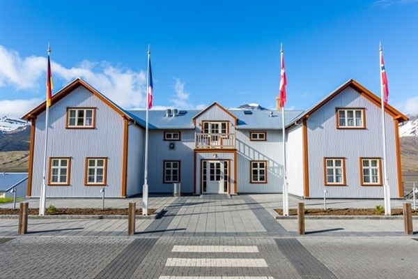
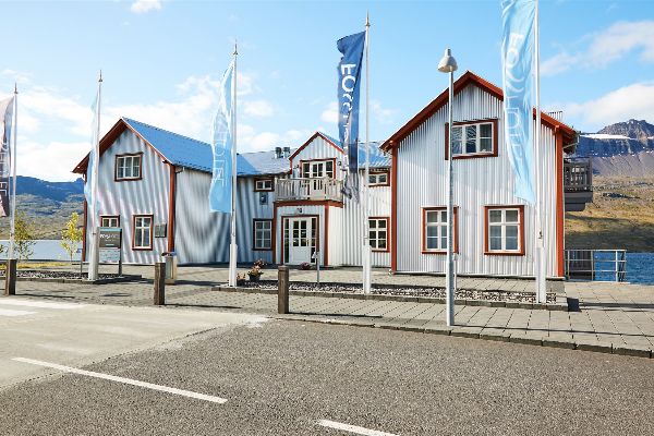
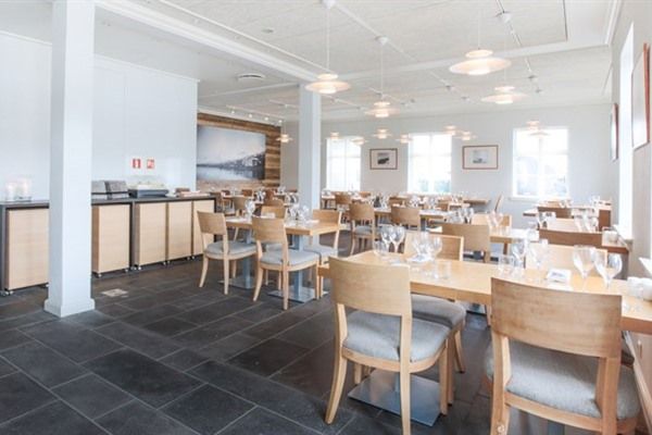
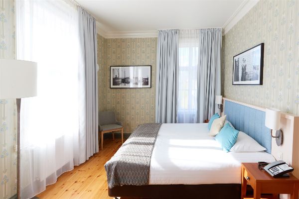
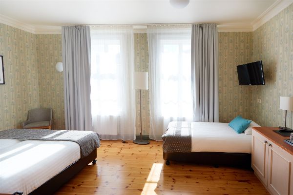
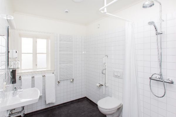
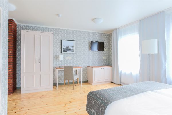
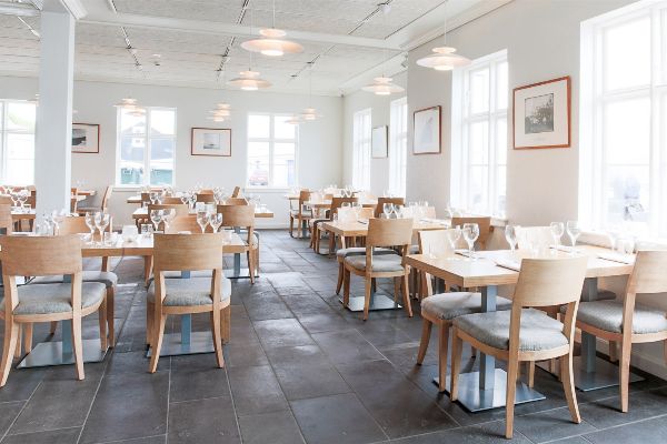
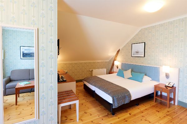
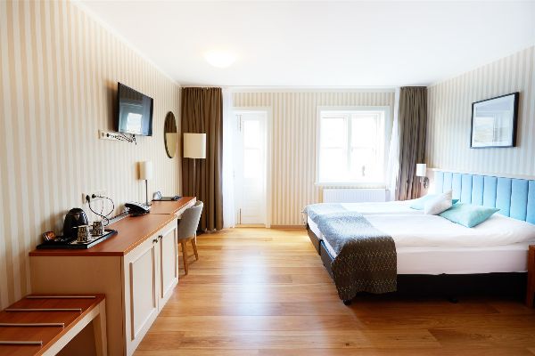
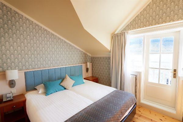
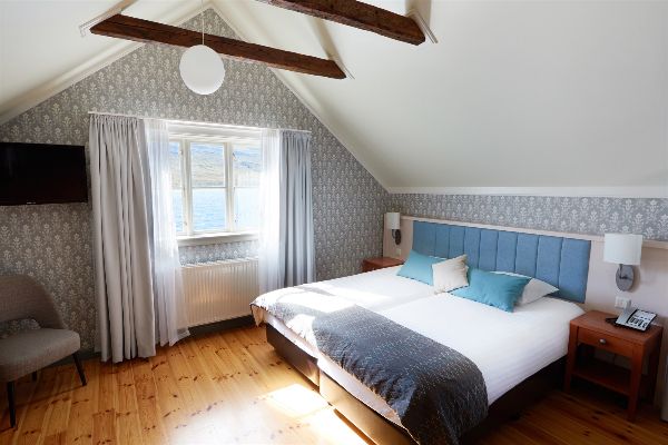
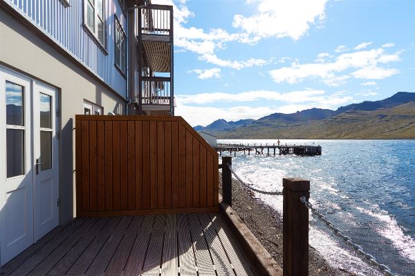
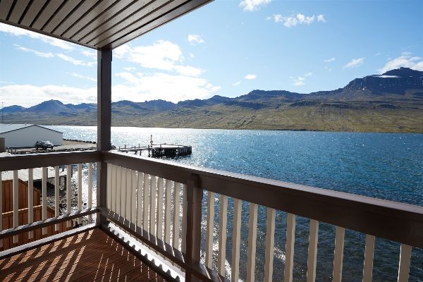
Accommodations
3 Nights
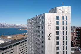
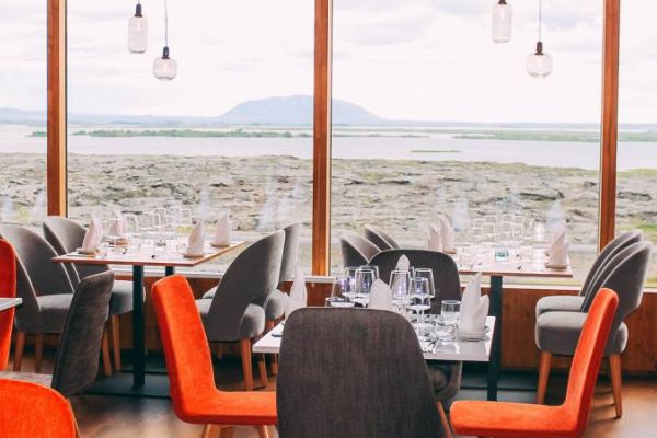
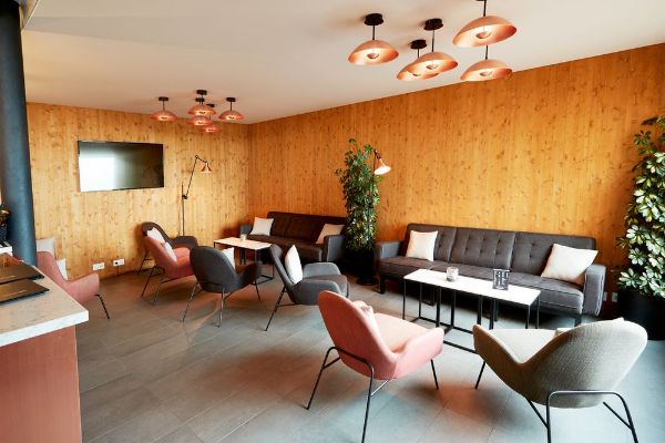
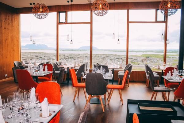
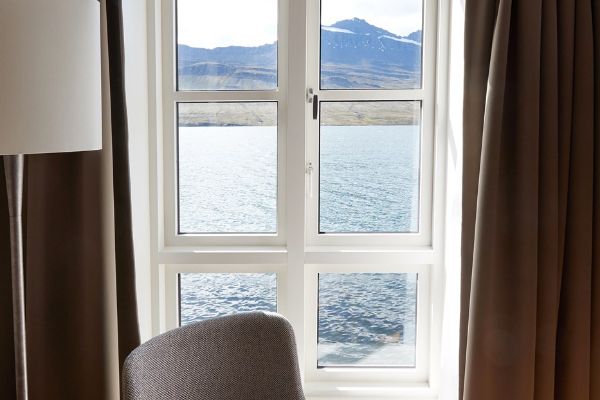
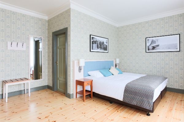
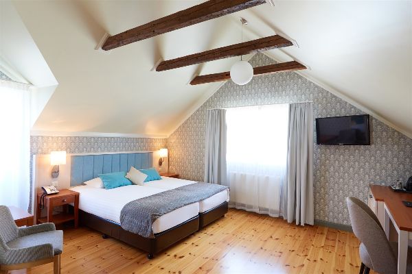
Contemporary View Hotel.jpg)
1 Night
Charming Country Hotel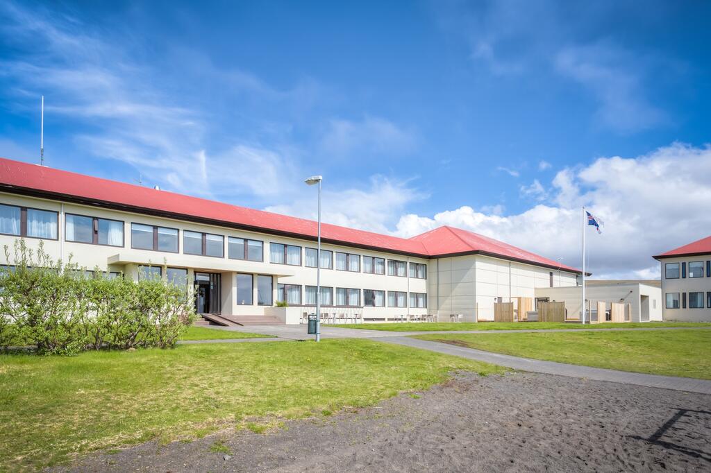
1 Night
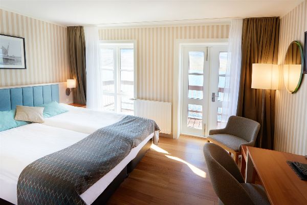
Peaceful New Hotel
2 Nights
Eco-Friendly Hotel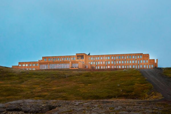


1 Night
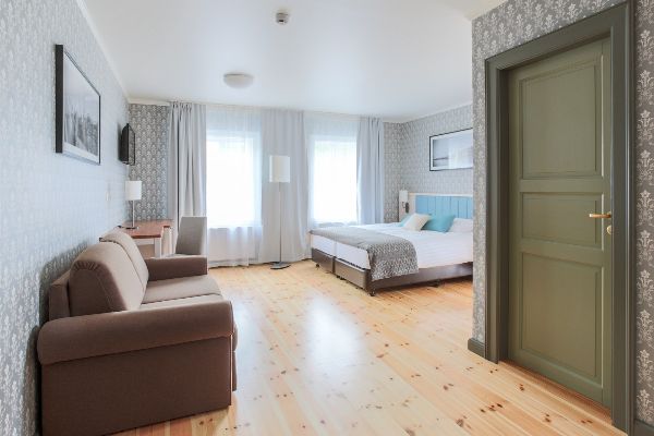
Historic Coastal Hotel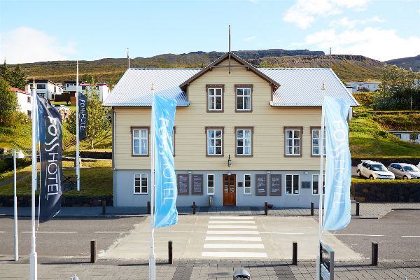


1 Night
Perfect Nature Hotel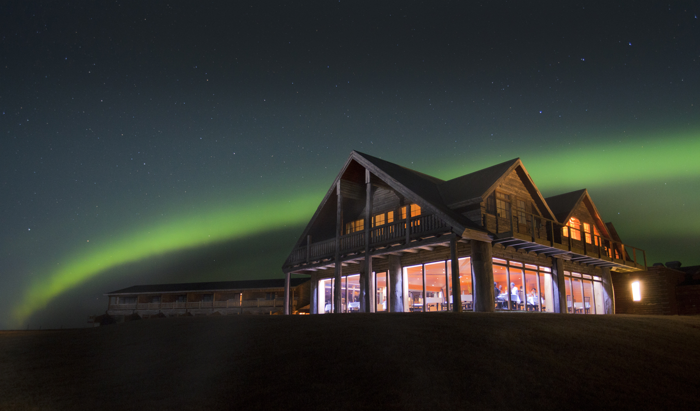
1 Night
Luxury 4-Star HotelTransportation and Guides
- Rental Car with Automatic Transmission
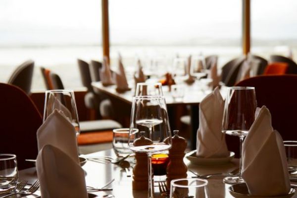
Meals Included
- Icelandic Breakfast Served Daily
Points of Interest
.jpg)
Perlan Museum, Reykijavik, Capital Region
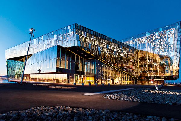
Harpa, Reykjavik, Capital Region
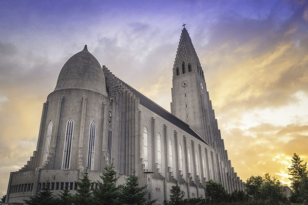
Hallgrimskirkja Church, Reykjavik, Capital Region
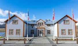
Reykjavik City Hall, Reykjavik, Capital Region
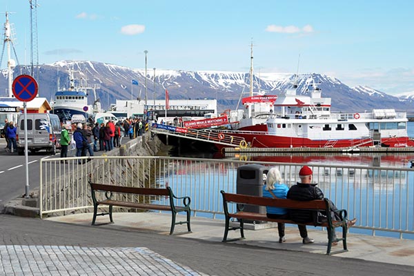
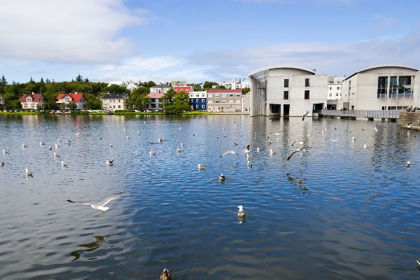
Reykjavik Old Harbour, Capital Region
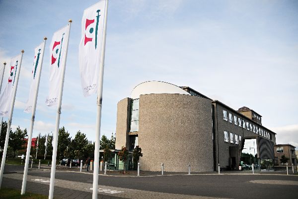
National Museum of Iceland, Reykjavik, Capital Region
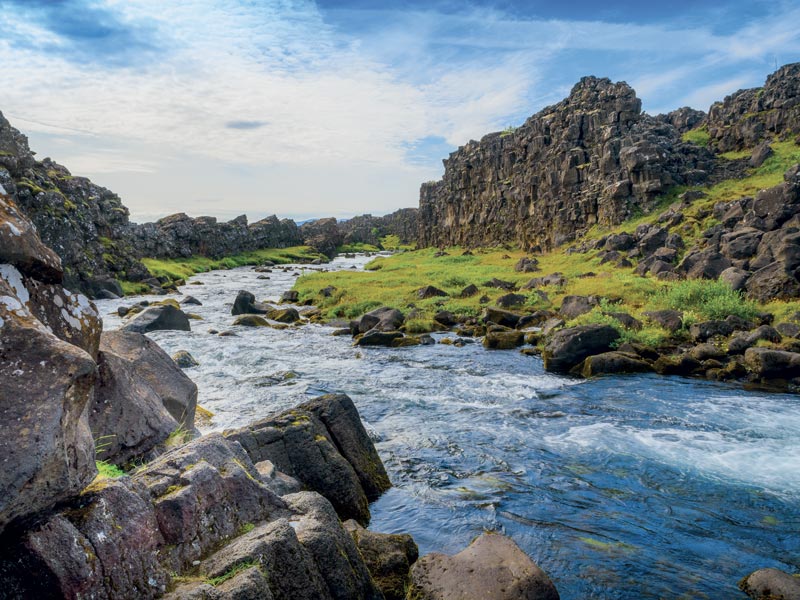
Thingvellir National Park, Selfoss, Southern Region
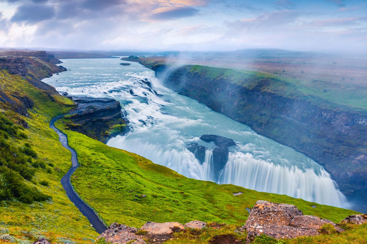
Gullfoss Waterfall, Southern Region
UNESCO World Heritage sites
Thingvellir National Park, Selfoss
Included Unique Experiences
- Flybus Airport Transfer
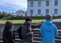
- Reykjavik Viking Walking Tour
- Blue Lagoon Comfort Bus
- Small Group Golden Circle Tour
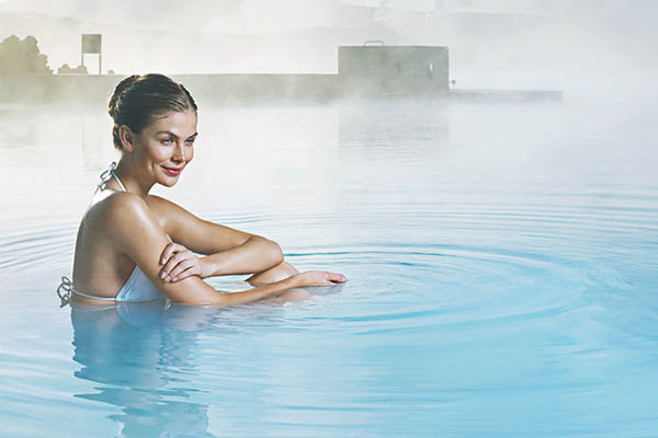
- Visit the Secret Lagoon
- Cave Exploration
- Glacier Experience
Tour highlights
- Reykjavik City
- Gullfoss - Marvel At the Breathtaking Waterfall
- Djupalonssandur & Dritvik - Explore the Beautiful Pebbled Beaches
- Krafla Lava Fields - Experience the Unique Active Volcanic Region
- Blue Lagoon - Visit the Country's Most Famous Geothermal Spa
- Thingvellir - Walk Through the Rift Valley Between Two Continents
- Kerid Crader - Visit the Striking Volcanic Crater Lake
- Godafoss - See the “Waterfall Of the Gods”
- Textile Museum Blonduos - Discover Homemade Icelandic Wool And Textile Creations
- Lake MýVatn - Marvel at This Beautiful Lake
- Dettifoss - Admire the Most Powerful Waterfall In Europe
- Krysukvik Geothermal Area - Observe Active Hot Springs and Bubbling Mud Cauldrons
- Dimmuborgir - Visit the Otherworldly Lava Fields & Formations
- Diamond Beach - See Blue Ice Bergs Contrasting Sensationally Against the Volcanic Black Sand Beach
Loading itinerary...
2026 MID SEASON
Available Dates
Sep, Oct
From $6,073 per person
2026 HIGH SEASON
Available Dates
Jul, Aug
From $6,292 per person
2027 LOW SEASON
Available Dates
Apr, May
From $6,579 per person
2027 MID SEASON
Available Dates
Sep, Oct
From $6,680 per person
2027 HIGH SEASON
Available Dates
Jun, Jul, Aug
From $6,921 per person
Your Price Includes
ACCOMMODATION
- 10 Nights in Superior Icelandic Hotels
DINING OPTIONS INCLUDED
- Icelandic Breakfast Served Daily
TRANSPORTATION
- Rental Car with Automatic Transmission
INCLUDED UNIQUE EXPERIENCES
- Flybus Airport Transfer
- Reykjavik Viking Walking Tour
- Blue Lagoon Comfort Bus
- Small Group Golden Circle Tour
- Visit the Secret Lagoon
- Glacier Experience
TOUR HIGHLIGHTS
- Reykjavik City
- Gullfoss - Marvel At the Breathtaking Waterfall
- Djupalonssandur & Dritvik - Explore the Beautiful Pebbled Beaches
- Krafla Lava Fields - Experience the Unique Active Volcanic Region
- Blue Lagoon - Visit the Country's Most Famous Geothermal Spa
- Thingvellir - Walk Through the Rift Valley Between Two Continents
- Kerid Crader - Visit the Striking Volcanic Crater Lake
- Godafoss - See the “Waterfall Of the Gods”
- Textile Museum Blonduos - Discover Homemade Icelandic Wool And Textile Creations
- Lake MýVatn - Marvel at This Beautiful Lake
- Dettifoss - Admire the Most Powerful Waterfall In Europe
- Krysukvik Geothermal Area - Observe Active Hot Springs and Bubbling Mud Cauldrons
- Dimmuborgir - Visit the Otherworldly Lava Fields & Formations
- Diamond Beach - See Blue Ice Bergs Contrasting Sensationally Against the Volcanic Black Sand Beach
Prices Based On
- All Taxes & Fees Included
- Prices are Per Person based on 2 people traveling together and sharing a room.
- Traveling Alone? No Problem. Just Ask Us for a Single Supplement Price.
"Family Vacation"
Jul 19, 2026KY
My client's loved their trip to England and Scotland. They were pleased with everything we planned for them and everything went perfectly. Ellie and Authentic Vacations made me look like a rock star. Thank you!
"Revisit to hike the 5 villages"
Jul 1, 2026Cinque Terre, Italy
What a wonderful visit we had in Cinque Terre. The driver was waiting for us at Florence airport and got us to Cinque Terre quickly and safely. Driver was very nice and spoke English well. He had cold water bottles for us to drink and the Mercedes van was very comfortable transportation.
The Hotel was very nice and the people there took very good care of us. We brought more than one suitcase each, because we had 19 days of travel planned, and found that to be a mistake. We would do that differently if we do it again, we would store most of it and take only one to the hotel or ship the rest ahead to the cruise line. The villages have a lot of steps, but the hotel manager had help for us so we didn't have to do much. Very good to us.
The all-day hiking with Andrea was absolutely fantastic. He was very accommodating and a wonderful guide and a wonderful person. He talked us through what we wanted to hike and when we want to use a shuttle or the train so that we could do all 5 villages. He recommended a couple of places for lunch and the restaurant we ate at was fantastic.
The food, especially the seafood, was so delicious and fresh, we really enjoyed everything we ate. The anchovies were so fresh and tasty we had the sampler twice, which is 3 or 4 pieces of anchovies, cooked 4 or 5 different ways. I also got a focaccia sandwich with mozzarella and anchovies and sundried tomatoes. I couldn't believe how good that was to eat.
The driver was picked us up after check-out and drove us to the port in Ravenna. This was a 4 hour trip and he got us there on time and safe. Driver was very nice and spoke English well for us. He also had cold water bottles for us to drink and the Mercedes van was very comfortable transportation.
So except for the fact that we probably over did it, hiking 8 or 9 miles up and down hills, it was exceptional.
Thank you for calling me a few days before and talking me through all the things we needed to know and helping with the train tickets. ItalyBeyond also was very responsive, any time I asked them questions.
Thank you very much for putting this together for us, so that we could experience this wonderful vacation with such wonderful memories. We always enjoy the itineraries you prepare for us. Look forward to the next one.
"Italy anniversary trip"
Jun 18, 2026GA
Ellie did a fabulous job helping me put together the perfect trip for my clients. She paid such great attention to the details I sent her, and my clients said the trip was AMAZING! Thank you Ellie!!!
"mom and daughter trip"
Jun 11, 2026Ireland
What an amazing trip! I chose Authentic because the itinerary sounded exactly what we wanted to see. But what made this the trip of a lifetime was our driver/guide, Colm Dunlea. He was absolutely incredible. The stories he told, the little side trips he took us on, the tips he gave us as we arrived in each of the towns/cities, the pictures he took and all of the extras he gave us were just so very much appreciated. I am forever grateful to Colm Dunlea for all he did. He was BRILLIANT!!!
"85th birthday gift celebration"
Jun 2, 2026Montague Michigan
Our trip to Ireland was beyond amazing. Each day brought new vistas filling us all with the heart of this beautiful land, The accomadations were just magical and each one had a lovely history of its own. The tour itinerary was well designed to teach us about Irelands different areas and history. Special praise to our ProCar chauffer / guide, Mr. Declan Cummins for going way above to care for each traveler . ( We were a varied group.) He is a huge asset to your company, We all grew very fond of him by weeks end. Thank you all for creating this wonderful adventure. I'd do it over again in a heartbeat!
"Denmark Vacation"
May 31, 2026Minneapolis, MN
My clients' 'Denmark in the Spring' trip exceeded expectations — from the seamless logistics to the curated experiences in both Copenhagen and Aarhus, every detail was thoughtfully arranged. Their drivers and guides were exceptional, bringing the destinations to life in ways they couldn't have discovered on their own. They returned home already dreaming of their next trip.
"Mom and daughter trip"
May 28, 2026Wisconsin
My client and her mother contacted me about travel to Ireland. They wanted something private and special. I met my Authentic Vacations' sales rep the night before and decided to send in a request. Best decision ever! Lauren L. received my request and immediately sent me an email with a few ideas, we talked on the phone and within 2 days I had a winning itinerary.
Fast forward. My client emailed me on arrival day and was very pleased with the service. She emailed me again on the last day and raved about their driver Colm Dunlea.
Working with Authentic Vacations was effortless. I highly recommend them and plan to use their service again.
"Family Vacation"
May 21, 2026New York
As a travel advisor, this was the first Ireland trip I entrusted to Authentic Vacations, and they knocked it out of the park. The clients loved having a private driver, thought the hotels were ideal, and a castle stay was the perfect ending to the trip.
1. Click the “GET QUOTE” Button Above.
Complete our inquiry form by selecting your departure date, and all other relevant fields. Be sure to let us know if you're traveling for a special occasion! We can adjust most of our vacation packages to suit your needs, based on the details you provide.
2. Online Account & Quote Created
Your request will be forwarded to our team of Destination Experts, and a price quote will be prepared, based on your submitted preferences and criteria. A free Authentic Vacations online account will also be created, allowing you to view and request changes to your quote at any time. Log into your account via “LOGIN” at the top of any of our webpages.
3. Fine-Tune Your Tour Quote
Work with your assigned Destination Expert to tweak your quote in any way you wish. Our customers continually tell us that our flexibility in this regard is exceptional – your Destination Expert’s sole brief is to create the perfect tour for you!
4. Reserve & Pay Online
Once your quote is 100% to your liking, you can pay for your package with your credit card via your Authentic Vacations online account. We also accept payment by personal check and wire transfer. We only require a 20% deposit to secure your vacation, and our Risk-Free Cancellation Policy provides you with complete peace of mind.
5. Print Your Travel Documents & Go!
Once your vacation has been paid in full, you will be able to print your travel documents directly from your online account. You’re ready to embark on your ideal, authentic vacation!!
Questions?
If you would prefer to discuss your perfect vacation on the phone, we would be delighted to hear from you! Our Destination Experts are standing-by and looking forward to speaking with you at any time during our business hours listed below. We also operate a very responsive and efficient Live Chat service on our website…instant gratification awaits!
Toll-free from the US and Canada: 1-888-443-5259 Rest of World: +1-707-687-0191
Hours of Business:
Monday – Thursday: 7:00am – 5:00pm PST
Friday: 7:00am – 4:00pm PST
Saturday: 6:00am – 3:00pm PST
Sunday: 6:00am – 3:00pm PST
With offices in Scottsdale, San Francisco, London, Dublin, Copenhagen and Edinburgh, we can offer you unrivaled support while you are abroad. We truly believe all our clients deserve an extraordinary, authentic experience!