 My Trips

.jpg)
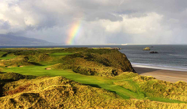
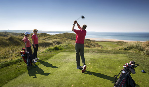
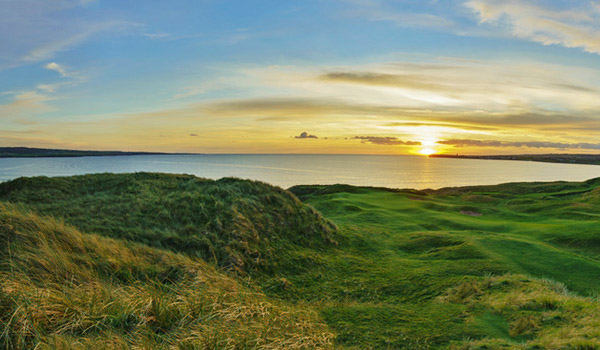
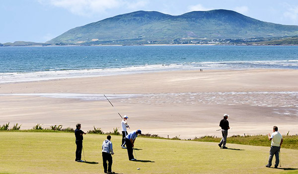
Follow in the footsteps of golf legends on this spectacular tour. Your vacation includes guaranteed tee times at Ireland’s best courses, including the Tralee Golf Club, Killarney Golf Club (the Killeen Course), Ballybunion Golf Course (Old Course), Waterville Golf Links, and the Lahinch Golf Club. The above golf courses are seasonal and are only available between April and October. Plus, you’re staying in superior lodgings that will ease you into relaxation and joy.
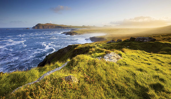
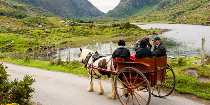
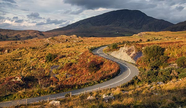
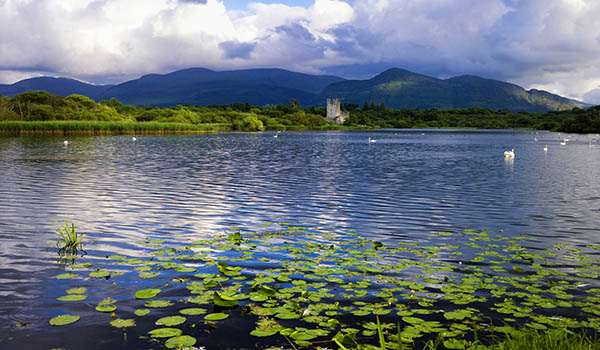
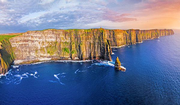
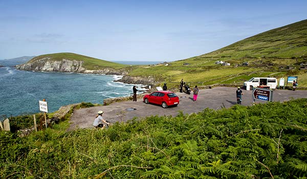
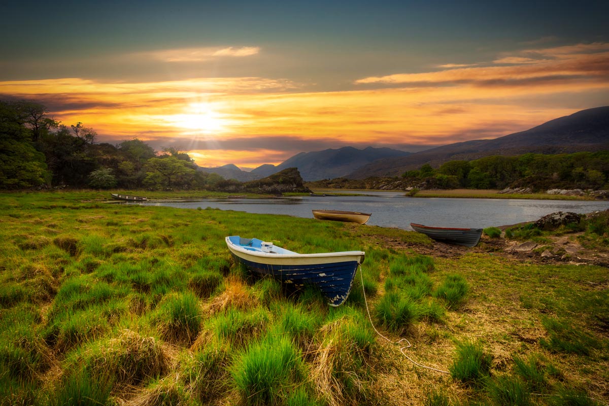
We’ve also arranged a whiskey tasting, a traditional boat tour on the lakes of Killarney, and a pony and trap through the Gap of Dunloe. Explore the Dingle Peninsula and the Wild Atlantic Way. See the Cliffs of Moher and Killarney National Park. This vacation is a dream, with something for every traveler.
*Please note that due to the exclusivity and high demand for some of these golf courses, tee times are subject to availability.
Included Unique Activities
- Amazing Golf - Guaranteed Tee-Times at Ireland's Best Courses (Seasonal Availability from April-October only):
- Tralee Golf Club
- Killarney Golf Club - Killeen Course
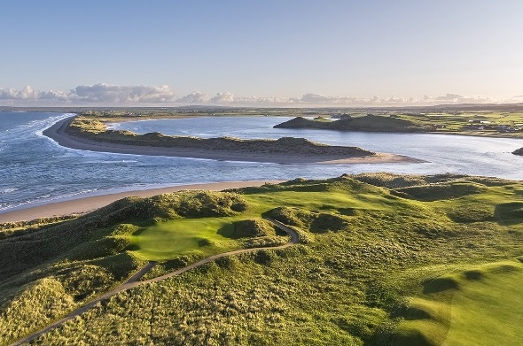
- Ballybunion Golf Course - Old Course*
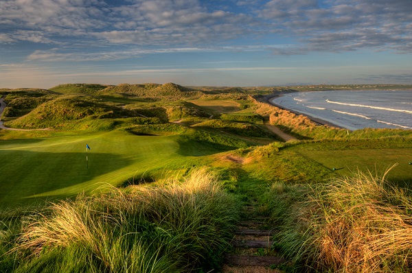
- Waterville Golf Links
- Lahinch Golf Club*
- *Please note that due to the exclusivity and high demand for these courses, tee times are subject to availability
- Deluxe Whiskey Flight Tasting
- Traditional Open Boat tour through the three Lakes of Killarney
- Pony and Trap through the Gap of Dunloe
- Superior Accommodations that consistently get Great Reviews from our Customers.
- Visit The World's only Dedicated Flying Boat Museum.
- Drive the Spectacular Dingle Peninsula.
- Killarney National Park, The Cliffs of Moher and much more!
Tralee Golf Club
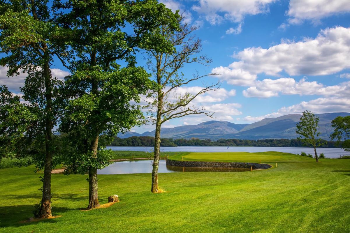
Killarney Golf Club - Killeen Course
Ballybunion Golf Club - Old Course

Waterville Golf Links

Lahinch Golf Club - Old Course
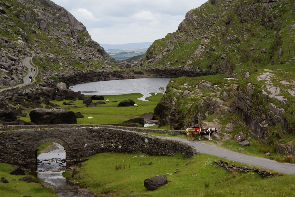
Gap of Dunloe & Killarney Lakes Tour with Pony Carriage

Great Southern Killarney Premium Whiskey Tasting

Foynes Flying Boat Museum Admission
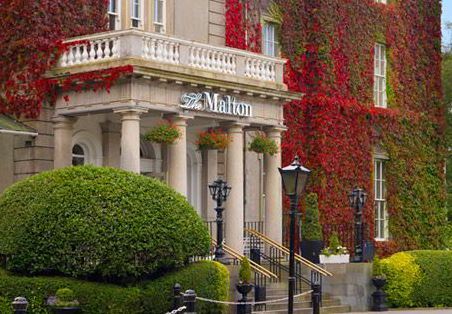
Accommodations
6 Nights
Preferred Luxury Hotel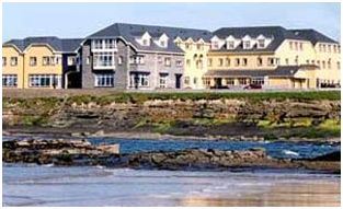
2 Nights
Tranquil Country HotelTransportation and Guides
- Automatic Rental Car
Points of Interest
Lough Gur, County Limerick
Adare Heritage Village, County Limerick
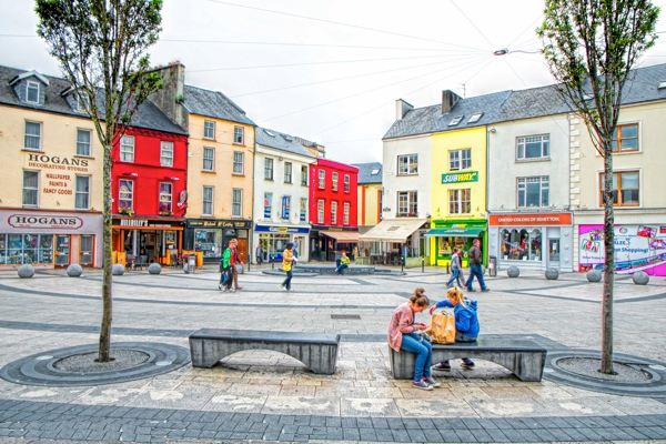
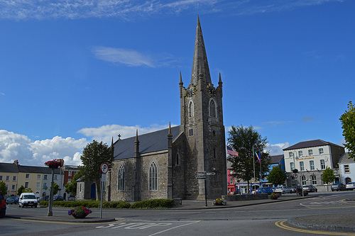
Tralee, County Kerry
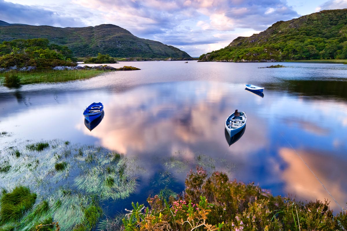
Killarney National Park, County Kerry
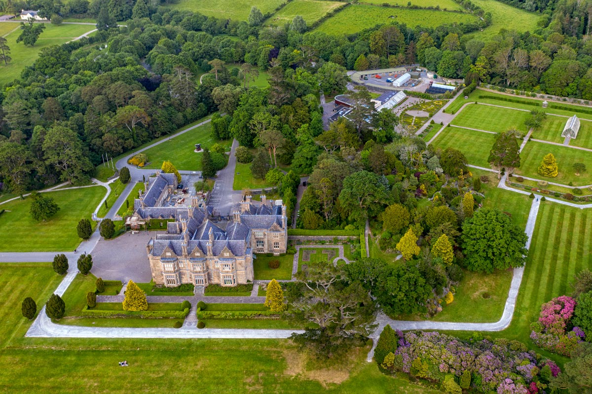
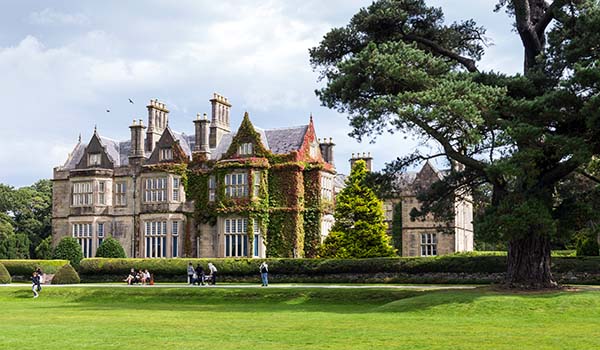
Muckross House and Gardens, County Kerry
Killarney, County Kerry
Listowel, County Kerry
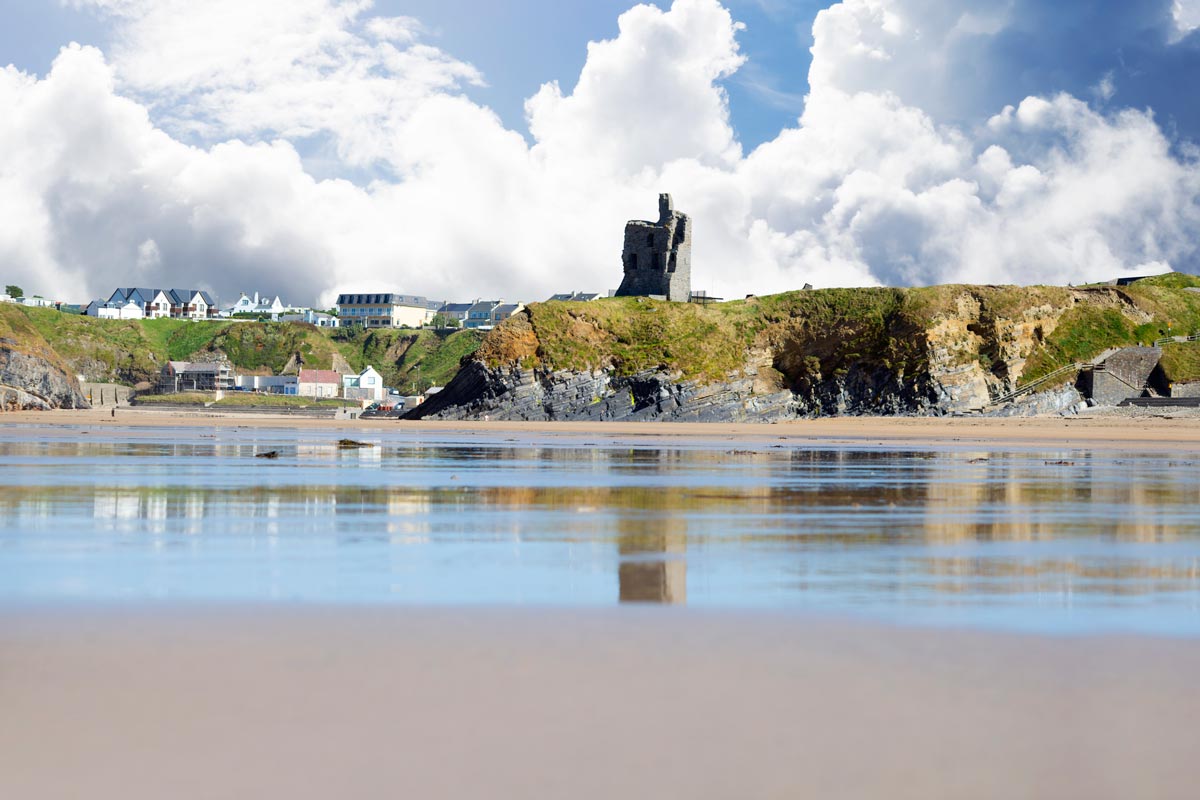
Ballybunion, County Kerry
Loading itinerary...
2026 MID SEASON
Available Dates
Sep, Oct
From $6,898 per person
2026 HIGH SEASON
Available Dates
Jun, Jul, Aug
From $7,395 per person
2027 LOW SEASON
Available Dates
Apr, May
From $7,468 per person
2027 MID SEASON
Available Dates
Sep, Oct
From $7,588 per person
2027 HIGH SEASON
Available Dates
Jun, Jul, Aug
From $8,135 per person
Your Price Includes:
ACCOMMODATION & INCLUSIONS
- 8 Nights at Authentic Accommodations
- 5 Rounds of Golf Tee-Time Reservations
- Automatic Rental Car Included
- 8 Breakfasts Sumptuous Full Irish Breakfasts each morning
- Your Vacation Online 24/7 Access to Your Tour Details & Travel Documents
- 5-Star Customer Service Expert Advice, VIP Service & 7-Day Travel Helpline
- No Change or Cancellation Fees
TOUR HIGHLIGHTS
- Amazing Golf Tee-Times at Ireland's Best Courses (Seasonal Availability from April-October only):
- Tralee Golf Club
- Killarney Golf Club Killeen Course
- Ballybunion Golf Course Old Course*
- Waterville Golf Links
- Lahinch Golf Club*
- Deluxe Whiskey Flight Tasting
- Traditional Open Boat Tour through the Lakes of Killarney
- Pony and Trap through the Gap of Dunloe
- Superior Accommodations that consistently get Great Reviews from our Customers.
- Visit The World's only Dedicated Flying Boat Museum.
- Drive the Spectacular Dingle Peninsula.
- Explore Killarney National Park, The Cliffs of Moher and much more!
*Please note that due to the exclusivity and high demand for these courses, tee times are subject to availability.
Prices Based On
- All Taxes & Fees Included
- **Prices are per person based on 2 people** traveling together and sharing a room.
"Family vacation"
Apr 29, 2026TN
I don’t think I could sing their praises enough. I wanted to explore Scotland but had no idea how to begin planning. I didn’t have to do anything. It was all taken care of. I just had to show up, I had no stress the whole trip.
This was the first of many trips to come. I’ll definitely be a return customer.
"Family Vacation"
Apr 29, 2026Texas
Amber M knocked it out of the park AGAIN! As always, she provided great insight and excellent service throughout the process. Clients had a wonderful time and loved the quality of the tours and professionalism and knowledge of the drivers and guides!
"Multiple itineraries all over the world!"
Apr 20, 2026Nashville, TN
As a travel advisor, I get requests for trips all over the world. So far Authentic Vacations has helped me plan trips for clients throughout Europe, Iceland, and Australia. And my clients always come back happy and eager to plan another! I have worked with everyone, but most extensively with Ellie and Michelle, and I can’t say enough good things about them. They are thorough, kind, knowledgeable, and always willing to help get the job done! Highly recommend the entire crew at Authentic, and will keep coming back!
"So glad we booked our UK vacation with Authentic"
Jan 1, 2026Illinois
This review is long overdue. We booked a 2 week vacation in the UK through Authentic Vacations and are so glad that we did!! Amber was our advisor, and she took my wish list and crafted a great trip that provided exactly what we were looking for. It was so nice to have it all pre-arranged for us so that we could just go and not have to worry about anything. The hotels were great choices and the tour companies that Amber booked were really good ones. Communication was clear and easy, and the company kept all of its commitments. Thank you, Authentic Vacations! Nice job!
"A Complicated Itinerary Made Easy"
Nov 24, 2025Scottdale
Lauren did an excellent job with my clients! She was so helpful in a very unique and complicated trip for a solo traveler. We combined it with some Air BnB that my client did and lauren was so great! Thank you again for being amazing to work with!
"Pleasure, Memory Tour in Ireland"
Nov 15, 2025VA
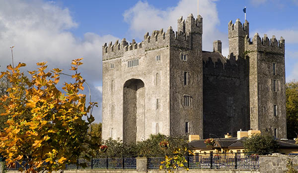
YES! Joleen put together a wonderful itinerary for my return trip to Ashford and Dromoland Castles in Ireland. The drivers and transfers were very pleasant and always on time with very comfortable luxury transports. The castle hotels were exactly what I expected but I think Joleen must have said things in the booking process because it seemed as though they may have stepped their normal attention to details up a bit. The upgrade at Dromoland was unexpected but much appreciated! Truly felt like a prince at both locations and all things went as planned without any problems. Thank you, your staff and especially Joleen for all that was done to make this a trip to remember!
"My clients were SO happy with their Italy trip"
Nov 10, 2025Missouri
I worked with Ellie at Authentic Vacations to plan a client's trip to Italy. Not only were the clients SO happy with the itinerary that Ellie crafted, but as the travel advisor, working with Authentic made the whole process seamless and stress-free!
My clients toured around Florence, Rome, and Tuscany. They were sending me pictures throughout their trip, letting me know that I "nailed" the itinerary. Authentic Vacations and its staff really understand the destinations and what travelers are truly looking for.
On the travel advisor side, it was an absolute joy from start to finish working with Ellie. She was always quick to respond and available to help in any way. I truly can't wait to work together in the future!
"Fantastic Vacation in Scotland"
Nov 3, 2025Louisville
My clients just returned from Scotland and Ireland and had a fantastic vacation. I appreciate the fast responses and knowledge in creating custom itineraries and have confidence that everything will be perfect for my clients. I love working with Authentic Vacations!
1. Click the “GET QUOTE” Button Above.
Complete our inquiry form by selecting your departure date, and all other relevant fields. Be sure to let us know if you're traveling for a special occasion! We can adjust most of our vacation packages to suit your needs, based on the details you provide.
2. Online Account & Quote Created
Your request will be forwarded to our team of Destination Experts, and a price quote will be prepared, based on your submitted preferences and criteria. A free Authentic Vacations online account will also be created, allowing you to view and request changes to your quote at any time. Log into your account via “LOGIN” at the top of any of our webpages.
3. Fine-Tune Your Tour Quote
Work with your assigned Destination Expert to tweak your quote in any way you wish. Our customers continually tell us that our flexibility in this regard is exceptional – your Destination Expert’s sole brief is to create the perfect tour for you!
4. Reserve & Pay Online
Once your quote is 100% to your liking, you can pay for your package with your credit card via your Authentic Vacations online account. We also accept payment by personal check and wire transfer. We only require a 20% deposit to secure your vacation, and our Risk-Free Cancellation Policy provides you with complete peace of mind.
5. Print Your Travel Documents & Go!
Once your vacation has been paid in full, you will be able to print your travel documents directly from your online account. You’re ready to embark on your ideal, authentic vacation!!
Questions?
If you would prefer to discuss your perfect vacation on the phone, we would be delighted to hear from you! Our Destination Experts are standing-by and looking forward to speaking with you at any time during our business hours listed below. We also operate a very responsive and efficient Live Chat service on our website…instant gratification awaits!
Toll-free from the US and Canada: 1-888-443-5259 Rest of World: +1-707-687-0191
Hours of Business:
Monday – Thursday: 7:00am – 5:00pm PST
Friday: 7:00am – 4:00pm PST
Saturday: 6:00am – 3:00pm PST
Sunday: 6:00am – 3:00pm PST
With offices in Scottsdale, San Francisco, London, Dublin, Copenhagen and Edinburgh, we can offer you unrivaled support while you are abroad. We truly believe all our clients deserve an extraordinary, authentic experience!